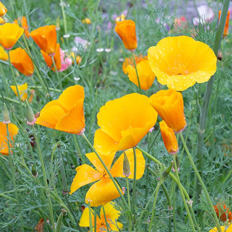
Places to See in Northern California
Northern California is a diverse landscape that varies from rugged coast line
to redwood forest (tallest trees) to volcanoes to the Sierra Nevada mountains to
the Great Valley and desert. Many state and national parks are found
here.
Volcanic Legacy
The Cascade Arc extends into northern California down to the Chico area.
Lassen Peak and Mt Shasta (14,180') are strato volcanoes and the Medicine
Lake volcano is a shield like volcano (flatter). The most recent
volcano eruption was
Lassen in 1917.
Lassen NP - (Guide)
Mount Shasta - Mt. Shasta Sisson
Museum (Driving
Tour Guide)
Medicine Lake (Guide)
Lava Beds National Monument
(Guide)
Gold Rush
The gold rush of the 1850s brought thousands to the state and mining towns
sprung up throughout the foothills of the Sierra Nevada and Klamath mountains.
There are numinous state parks and museums to visit.
Grass Valley
Nevada
City
Alleghany
Empire Mine State Historic Park
Malakoff Diggins State Historic
Park Marshall Gold Discovery
State Historic Park
Yreka
Siskiyou County Museum
Weaverville Trinity County Museum
and Blacksmith Shop
North Coast / Redwoods
Highway 1 is a beautiful drive up the northern California coast but plan to
take your time! Highway 1 merges with highway 101 at Leggett, but 101
continues up the coast through the redwood country. The fall is
really the best time to visit the coast since it is usually fog free and there
will be fewer people after labor day. The coast line is rugged and
water temperatures are in the low 40s. You may see Gray Whales as
they migrate south from the Artic to Baja California.
Point Reyes National Seashore
- A park just north of San Francisco that sits on the San Andres fault.
Redwood National Park
Humbolt Redwoods State Park
Armstrong Woods
Emigrant Trails
While the gold rush was a driver of much of the early emigration a number of
trails brought settlers into the region. Many of these led to northern
California. Trails West
marks these trails and offers driving guides. Local trails
include the Lassen Trail, the Nobles Trail, the Yreka Trail, and Truckee Trail.
Lake Tahoe Area
The area is located in the Sierra Nevada mountains about 6000' on the
California Nevada border. It is home of many ski resorts, pretty in
the fall. If you want to explore this area consider flying into
Reno. Reno is about 3 hrs. from Chico and 170 miles. Their
are a number of nice routes to drive.
Hiking
There are many places to hike including several hundred miles of the
Pacific Crest Trail. Most of parks have nice day hiking trails.
Castle Crags SP on Hwy 5
has a nice, but steep trail up into the crags with great views of Shasta.
Jug Handle SP has a great trail from the ocean up through the redwoods
into the pigmy pine forests. Lassen NP with many active volcanic
features has many trails including one to the peak (10,457 feet). Lava
Beds NM has short trails to many caves. Some caves are
accessible
by non-cavers (bring a flashlight and sturdy shoes).
Locally:
Bidwell Park is a 3,670 acre city park that extends from downtown Chico
into the foothills.
Table Mountain is a volcanic formation nearby, but is best viewed in the
spring when the waterfalls are full and wild flowers are in bloom.
Bird Watching
The Sacramento Valley is on a major flyway and has a number of wildlife
refuges between Sacramento and Chico. See:
https://www.fws.gov/story/sacramento-nwr-complex-plan-your-visit
Geese and ducks usually come through the area between August and October.
Breweries
Map
Cideries
Map
Wine Tasting
Amador County
North Coast -
Sonoma / Napa
/ Mendocino /
Lake Counties
New Clairvaux Vineyard
(Near Chico)
Southern Oregon
Tour Ideas
These are general ideas of routes to follow. Most are state
highways, but these are typically back roads and may not be the fastest route.
This map shows general routes
from Chico to Sacrament Airport, but many others are possible. Reverse the
route if you are touring before the conference.
Gold Rush - Wine Tasting
Travel down the historic highway 49 through the northern mine country.
Amador County has many wineries.
Coast - Wine Tasting
Travel through the wine country of Lake, Napa, and Sonoma counties to the
Point Reyes National Seashore.
Coast - Redwoods - Beer Tasting
Travel into redwood country. Sample some beer from the numerous
micro breweries on the north coast. You will pass by a number of wineries
in Lake and Mendocino counties.
Volcanic Legacy
Visit three volcanoes and stop in Manton (a bit off the path) for a glass of
wine.
Getting to Chico
Sacramento International Airport (SMF) is 90 miles south of Chico.
I would recommend renting a car and car pooling.
Need more info?
mspiess@csuchico.edu
| 

